Freezing cold, snow, ice, grey skies — nice warm house, toast, log fire — it can be a bit of a challenge getting out of the door for a run when the weather is like it has been in the UK recently.
It’s certainly no fun on the roads, even dangerous on the ice.
So the fields are calling and it’s a great time to explore some new routes over the countryside.
Finding the route
Users of mapmyrun.com or gmap-pedometer.com will be used to plotting their running routes on the web, and will also aware of the limitations of using Google mapping; the map detail is just not great enough to show footpaths across private land. Wouldn’t it be great to plot a route on a detailed OS map and download it straight on to your Garmin before setting out. Well, take a look at www.bikehike.co.uk.
There, you can plot a route using both Google maps and the familiar sheet maps of the Ordnance Survey.
You can also switch to satellite view to help out a little too.
Plot your route, download it to your computer as a gpx route and upload that gpx file to your Garmin and away you go.
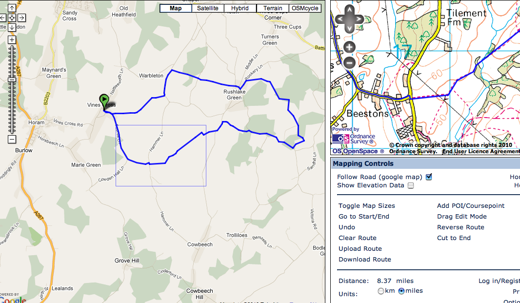
We tried it, plotting a 10-mile route using some completely unfamiliar footpaths. The accuracy was sufficient to ensure we didn’t get lost, even in deep snow!
It’s a great way to discover new parts of the countryside either home or away in the UK.
Leave a Reply